English   Română   Español   Français   Deutsch  

getamap.net

Africa

Oceania

Asia

North America

Europe

South America

Antarctica


20°34'60" S
164°18'0" E
~29m asl
21:11 (NCT - UTC/GMT+11)

Ka Kondo (Ka Kondo) is a stream (class H - Hydrographic) in New Caledonia (general), New Caledonia [ France ] (Oceania) with the region font code of Americas/Western Europe. It is located at an elevation of 29 meters above sea level.

Its coordinates are 20°34'60" S and 164°18'0" E in DMS (Degrees Minutes Seconds) or -20.5833 and 164.3 (in decimal degrees). Its UTM position is DC22 and its Joint Operation Graphics reference is SF58-02.

Current local time is 21:11; the sun rises at 08:54 and sets at 21:01 local time (Pacific/Noumea UTC/GMT+11). The standard time zone for Ka Kondo is UTC/GMT+11
In 2024 DST starts on - and ends on -.

A Stream is a body of running water moving to a lower level in a channel on land.


Country
 Advertisements:


 Advertisements:


Weather Ka Kondo (Cloud cover, Temperature, Wind speed and Precipitation mm probab.)

Sat


Apr 27
Clound 40-50-0-80 Mist
~3 l/m2 37%
 
22 °C min
25 °C max
29 km/h
Thu Jan 1

Sun


Apr 28
Clound 20-40-0-40
~5 l/m2 33%
 
21 °C min
26 °C max
32 km/h
Thu Jan 1

Mon


Apr 29
Clound 10-20-0-10
 
21 °C min
26 °C max
36 km/h
Thu Jan 1

Tue


Apr 30
Clound 10-30-60-50
~1 l/m2 40%
 
21 °C min
25 °C max
35 km/h
Thu Jan 1

Wed


May 1
Clound 0-50-0-0
 
20 °C min
25 °C max
19 km/h
Thu Jan 1

Thu


May 2
Clound 20-60-30-30
~0.3 l/m2 26%
 
21 °C min
26 °C max
37 km/h
Thu Jan 1

Weather Graph

Ka Kondo (New Caledonia (general)) 7 day forecast
 

Map and Photos Ka Kondo


Comments

--- There are no comments yet ---


Add a new comment:


You have to log in to add a comment!


Members area


Register

Forgot password?

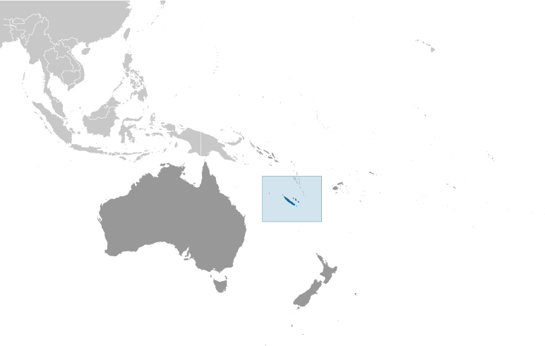
New Caledonia [ France ] (Overseas Territory):

Advertisement


GPS points near Ka Kondo

square Siounda (1 km)

square Tiando (1 km)

square Oue Kaala (1 km)

square Riviere Kaala (1 km)


square Couaiac (2 km)

square Koumac (2 km)

square Kumac (2 km)

square Kumak (2 km)

square Pahea (2 km)

square Bouaidjelima (2 km)

square Hongo (2 km)

square Pointe Pandop (3 km)

square Bouloumala (3 km)

square Kingue (3 km)

square Tougoupe (3 km)

square Koumac (3 km)


GPS points from New Caledonia [ France ] (Overseas Territory)

square Basse Uere New Caledonia (general)

square Plateau De Tiari New Caledonia (general)

square Ilots Champignons New Caledonia (general)

square Nereka Pouboui New Caledonia (general)

square Azekoie New Caledonia (general)

square Pointe De Mouly New Caledonia (general)

square Eoce New Caledonia (general)

square Baie De Lekine New Caledonia (general)


viewweather.com sv.ViewWeather.com
fr.ViewWeather.com
da.ViewWeather.com
de.ViewWeather.com
es.ViewWeather.com
www.carpati.org
www.searchromania.net
Deblocari usi
es.getamap.org
fr.getamap.org
de.getamap.org
nl.getamap.org
da.getamap.org
www.getamap.org
Links
Terms of use
Privacy policy

# 0.0670 sec 

contact AT getamap.net

© 2006 - 2024  https://www.getamap.net/